Darlington, South Carolina Weather
No Watches or Warnings for Darlington
Issued: 5:30 pm EDT Apr 19, 2025 Latitude: 34.2998762 Longitude: -79.8761741 View on Google Maps
|
|
|
|
|
|
|
|
|
|
 |
 |
 |
|
 |
 |
|
|
| Low: °F |
High: °F |
High: °F |
High: °F |
High: °F |
High: °F |
High: °F |
High: °F |
| Low: °F |
Low: °F |
Low: °F |
Low: °F |
Low: °F |
Low: °F |
|
| Cloudy |
Mostly Sunny |
Partly Sunny |
Partly Sunny |
Thunderstorms |
Rain |
Partly Sunny |
Partly Sunny |
Current Conditions at
DARLINGTON - (KUDG)
82°
Clear
as of 6:56 PM EDST
Rel. Humidity: 51%
Dew Point: 63°F
Visibility: 10 Miles
Pressure: 30.24 in.
Flight Rule: VFR
Wind Data
13 MPH
200° South
Cloud Level(s): Clear
Current Conditions at
FLORENCE - (KFLO)
82°
Clear
as of 6:53 PM EDST
Rel. Humidity: 48%
Dew Point: 61°F
Visibility: 10 Miles
Pressure: 30.25 in.
Flight Rule: VFR
Cloud Level(s): Clear
Current Conditions at
SUMTER/SHAW AFB - (KSSC)
82°
Clear
as of 6:55 PM EDST
Rel. Humidity: 48%
Dew Point: 61°F
Visibility: 10 Miles
Pressure: 30.23 in.
Flight Rule: VFR
Wind Data
12 MPH
180° South
Cloud Level(s): Clear
Current Conditions at
MAXTON - (KMEB)
81°
Clear
as of 6:52 PM EDST
Rel. Humidity: 54%
Dew Point: 63°F
Visibility: 10 Miles
Pressure: 30.23 in.
Flight Rule: VFR
Wind Data
13 MPH
Gust: 21 MPH
200° South
Cloud Level(s): Clear
|
Tonight... Partly cloudy, with a low around 61. South wind 5 to 11 mph, with gusts as high as 21 mph. |
|
|
Sunday... Mostly sunny, with a high near 88. Southwest wind 5 to 7 mph. |
|
 |
Sunday Night... Increasing clouds, with a low around 60. South wind 3 to 6 mph. |
|
|
Monday... Partly sunny, with a high near 86. Calm wind becoming southwest 5 to 8 mph in the morning. Winds could gust as high as 15 mph. |
|
|
Monday Night... Mostly cloudy, with a low around 63. South wind around 8 mph. |
|
|
Tuesday... Partly sunny, with a high near 89. |
|
|
Tuesday Night... Mostly cloudy, with a low around 64. |
|
|
Wednesday... A chance of showers and thunderstorms after 2pm. Mostly cloudy, with a high near 88. Chance of precipitation is 50%. |
|
 |
Wednesday Night... A chance of showers and thunderstorms before 2am. Mostly cloudy, with a low around 63. Chance of precipitation is 30%. |
|
|
Thursday... A chance of showers after 2pm. Mostly cloudy, with a high near 85. Chance of precipitation is 50%. |
|
 |
Thursday Night... A chance of showers. Mostly cloudy, with a low around 63. Chance of precipitation is 30%. |
|
|
Friday... Partly sunny, with a high near 87. |
|
|
Friday Night... Partly cloudy, with a low around 63. |
|
|
Saturday... A chance of showers. Partly sunny, with a high near 88. Chance of precipitation is 30%. |
|
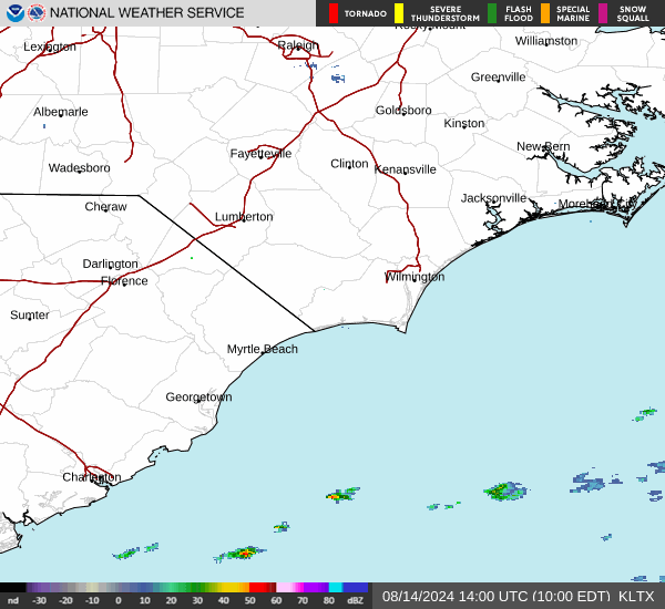
Current Radar Image
Sun Almanac for Darlington, South Carolina
Sunrise: 06:43 AM
Sunset: 7:54 PM
Civil Sunrise:06:17 AM
Civil Sunset: 8:20 PM
Nautical Sunrise: 05:46 AM
Nautical Sunset: 8:52 PM
Astro Sunrise: 05:13 AM
Astro Sunset: 9:24 PM
South Carolina's Current Temperatures
 South Carolina's Satellite Image
 South Carolina's Current Wind Direction
| National Summary |
of upper and lower values of current conditions amongst 5024 locations
in the contiguous United States |
|
High
Temp |
90° |
Presidio, Texas
|
|
Low
Temp |
18° |
Salida Mountain, Colorado
|
|
Wind
Speed |
28mph |
Alpine, Texas
|
|
Wind
Gust |
54mph |
Johnstown, Pennsylvania
|
|
Wind
Chill |
7° |
Pagosa Springs, Colorado
|
|
High
Pressure |
30.34Hg |
Newport, Oregon
|
|
Low
Pressure |
29.59Hg |
Frenchville, Maine
and 1 other location
|
|
| # Locations Reporting Snow |
11 |
|
| # Locations Reporting Rain |
47 |
|
| # Locations Reporting Thunderstorms / Lightning |
6 |
|
| # Locations Reporting Fog |
2 |
|
| Average Temperature in the Contiguous USA |
64° |
|
Any use of the information on this page is at your own risk. This information should not be relied upon in life-threatening situations, potential financial loss situations or in lieu of any officially disseminated information. Visit the
National Weather Service for official information.