Orange, New Mexico Weather
Issued: 2:20 am MDT Mar 14, 2025 Latitude: 31.8609383 Longitude: -106.6361022 View on Google Maps
|
|
|
|
|
|
|
|
|
|
 |
 |
 |
 |
 |
|
|
|
| Low: °F |
High: °F |
High: °F |
High: °F |
High: °F |
High: °F |
High: °F |
High: °F |
| Low: °F |
Low: °F |
Low: °F |
Low: °F |
Low: °F |
Low: °F |
|
| Rain |
Dust |
Rain |
Sunny |
Mostly Sunny |
Sunny |
Sunny |
Sunny |
EL PA... 

LAS C... 
DEMIN... HOLLO...
Current Conditions at
EL PASO - (KELP)
54°
Mostly Cloudy
Blowing Dust
as of 2:54 AM MDST
Rel. Humidity: 43%
Dew Point: 32°F
Visibility: 1 1/2 Miles
Pressure: 29.71 in.
Flight Rule: LIFR
Wind Data
31 MPH
Gust: 46 MPH
300° Northwest
Cloud Level(s): Broken at 0ft
Current Conditions at
LAS CRUCES - (KLRU)
Cloudy
Light Rain
as of 2:55 AM MDST
Rel. Humidity: 86%
Dew Point: 34°F
Visibility: 10 Miles
Pressure: 29.79 in.
Flight Rule: VFR
Wind Data
26 MPH
Gust: 38 MPH
270° West
Cloud Level(s): Scattered at 1700ft, Broken at 3300ft, Solid Overcast at 4800ft
Current Conditions at
DEMING - (KDMN)
Cloudy
as of 2:53 AM MDST
Rel. Humidity: 80%
Dew Point: 34°F
Visibility: 10 Miles
Pressure: 29.81 in.
Flight Rule: MVFR
Wind Data
24 MPH
Gust: 36 MPH
280° West
Cloud Level(s): Solid Overcast at 2700ft
Current Conditions at
HOLLOMAN AFB - (KHMN)
Cloudy
Light Rain
as of 2:55 AM MDST
Rel. Humidity: 75%
Dew Point: 37°F
Visibility: 10 Miles
Pressure: 29.75 in.
Flight Rule: VFR
Wind Data
18 MPH
230° Southwest
Cloud Level(s): Solid Overcast at 4600ft
|
Overnight... Scattered showers before 4am. Mostly clear, with a low around 38. Windy, with a west wind 43 to 48 mph. Chance of precipitation is 30%. |
|
|
Friday... Patchy blowing dust after noon. Increasing clouds, with a high near 56. West wind 20 to 22 mph, with gusts as high as 34 mph. |
|
 |
Friday Night... A 50 percent chance of rain after 2am. Mostly cloudy, with a low around 37. West northwest wind 10 to 20 mph, with gusts as high as 31 mph. New precipitation amounts of less than a tenth of an inch possible. |
|
|
Saturday... Rain, mainly before 11am. Patchy blowing dust after 2pm. High near 58. West wind 10 to 15 mph increasing to 17 to 22 mph in the morning. Winds could gust as high as 34 mph. Chance of precipitation is 80%. |
|
 |
Saturday Night... Mostly clear, with a low around 32. West northwest wind 16 to 21 mph becoming light after midnight. Winds could gust as high as 32 mph. |
|
|
Sunday... Sunny, with a high near 68. Light west wind. |
|
 |
Sunday Night... Partly cloudy, with a low around 38. Light and variable wind. |
|
|
Monday... Mostly sunny, with a high near 82. Calm wind becoming south southwest 5 to 8 mph in the afternoon. |
|
 |
Monday Night... Mostly cloudy, with a low around 50. West southwest wind 6 to 8 mph. |
|
|
Tuesday... Sunny, with a high near 77. Windy. |
|
|
Tuesday Night... Mostly clear, with a low around 39. |
|
|
Wednesday... Sunny, with a high near 65. |
|
|
Wednesday Night... Mostly clear, with a low around 36. |
|
|
Thursday... Sunny, with a high near 73. |
|
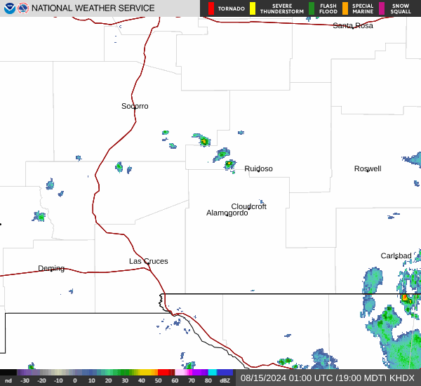
Current Radar Image
Sun Almanac for Orange, New Mexico
Sunrise: 07:17 AM
Sunset: 7:14 PM
Civil Sunrise:06:53 AM
Civil Sunset: 7:38 PM
Nautical Sunrise: 06:24 AM
Nautical Sunset: 8:07 PM
Astro Sunrise: 05:56 AM
Astro Sunset: 8:35 PM
New Mexico's Current Temperatures
 New Mexico's Satellite Image
 New Mexico's Current Wind Direction
| National Summary |
of upper and lower values of current conditions amongst 5970 locations
in the contiguous United States |
|
High
Temp |
73° |
Cotulla, Texas
and 1 other location
|
|
Low
Temp |
10° |
Eureka, Nevada
|
|
Wind
Speed |
31mph |
El Paso, Texas
|
|
Wind
Gust |
52mph |
Clines Corners, New Mexico
|
|
Wind
Chill |
-3° |
Eureka, Nevada
|
|
High
Pressure |
30.19Hg |
Portland, Maine
and 1 other location
|
|
Low
Pressure |
29.12Hg |
Mobridge, South Dakota
|
|
| # Locations Reporting Snow |
17 |
|
| # Locations Reporting Rain |
13 |
|
| # Locations Reporting Thunderstorms / Lightning |
1 |
|
| # Locations Reporting Fog |
18 |
|
| Average Temperature in the Contiguous USA |
47° |
|
Any use of the information on this page is at your own risk. This information should not be relied upon in life-threatening situations, potential financial loss situations or in lieu of any officially disseminated information. Visit the
National Weather Service for official information.