Frontenac, New York Weather
Issued: 6:37 am EST Feb 5, 2025 Latitude: 44.2569908 Longitude: -76.0496667 View on Google Maps
|
|
|
|
|
|
|
|
 |
 |
 |
 |
|
 |
| High: °F |
Low: °F |
|
|
|
|
| Mostly Sunny |
Snow |
Snow |
Partly Sunny |
Partly Sunny |
Snow |
Current Conditions at
WATERTOWN - (KART)
-15°
Clear
as of 5:56 AM EST
Rel. Humidity: 68%
Dew Point: -22°F
Visibility: 10 Miles
Pressure: 30.43 in.
Flight Rule: VFR
Cloud Level(s): Clear
Current Conditions at
FORT DRUM - (KGTB)
-9°
Clear
as of 5:55 AM EST
Rel. Humidity: 76%
Dew Point: -15°F
Visibility: 7 Miles
Pressure: 30.37 in.
Flight Rule: VFR
Wind Data
3 MPH
210° Southwest
Cloud Level(s): Clear
Current Conditions at
FULTON - (KFZY)
9°
Cloudy
as of 6:27 AM EST
Rel. Humidity: 78%
Dew Point: 3°F
Visibility: 10 Miles
Pressure: 30.42 in.
Flight Rule: MVFR
Cloud Level(s): Broken at 2900ft, Solid Overcast at 3400ft
Current Conditions at
MASSENA - (KMSS)
-4°
Cloudy
as of 5:53 AM EST
Rel. Humidity: 83%
Dew Point: -8°F
Visibility: 10 Miles
Pressure: 30.45 in.
Flight Rule: VFR
Cloud Level(s): Solid Overcast at 3800ft
|
Today... Variable winds less than 5 kt becoming WSW 5 to 7 kt in the morning. Mostly sunny. Waves 1 ft or less. |
|
|
Tonight... Variable winds 5 kt or less. A slight chance of snow after 5am. Waves 1 ft or less. |
|
|
Thursday... E wind 6 to 11 kt becoming S in the afternoon. Snow, mainly after 8am. Waves 1 ft or less. |
|
|
Thursday Night... SW wind 16 to 19 kt, with gusts as high as 31 kt. A chance of snow showers, mainly before 2am. Waves 1 ft or less. |
|
|
Friday... W wind 13 to 16 kt, with gusts as high as 26 kt. Partly sunny. Waves 1 ft or less. |
|
 |
Friday Night... W wind 5 to 10 kt becoming variable and less than 5 kt after midnight. Mostly cloudy. Waves 1 ft or less. |
|
|
Saturday... Variable winds 5 kt or less. Partly sunny. Waves 1 ft or less. |
|
|
Saturday Night... Variable winds less than 5 kt becoming NE 5 to 7 kt in the evening. Snow. Waves 1 ft or less. |
|
|
Sunday... N wind 7 to 9 kt becoming WNW in the afternoon. A chance of snow showers. Waves 1 ft or less. |
|
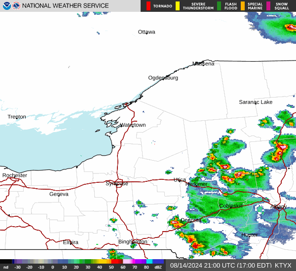
Current Radar Image
Sun Almanac for Frontenac, New York
Sunrise: 07:17 AM
Sunset: 5:20 PM
Civil Sunrise:06:46 AM
Civil Sunset: 5:50 PM
Nautical Sunrise: 06:12 AM
Nautical Sunset: 6:25 PM
Astro Sunrise: 05:38 AM
Astro Sunset: 6:58 PM
New York's Current Temperatures
 New York's Satellite Image
 New York's Current Wind Direction
| National Summary |
of upper and lower values of current conditions amongst 7049 locations
in the contiguous United States |
|
High
Temp |
75° |
Garden Banks172, Louisiana
and 1 other location
|
|
Low
Temp |
-15° |
Watertown, New York
and 1 other location
|
|
Wind
Speed |
44mph |
Evanston, Wyoming
|
|
Wind
Gust |
61mph |
Evanston, Wyoming
|
|
Wind
Chill |
-23° |
Frenchville, Maine
|
|
High
Pressure |
30.49Hg |
Menominee, Michigan
|
|
Low
Pressure |
29.33Hg |
Salmon, Idaho
|
|
| # Locations Reporting Snow |
58 |
|
| # Locations Reporting Rain |
32 |
|
| # Locations Reporting Fog |
107 |
|
| Average Temperature in the Contiguous USA |
33° |
|
Any use of the information on this page is at your own risk. This information should not be relied upon in life-threatening situations, potential financial loss situations or in lieu of any officially disseminated information. Visit the
National Weather Service for official information.